Ft Ligonier
Fort Ligonier
From Wikipedia, the free encyclopedia
Jump to navigationJump to search
Fort Ligonier Site
U.S. National Register of Historic Places
Pennsylvania state historical marker
Fort Ligonier3.jpg
Fort Ligonier is located in PennsylvaniaFort Ligonier
Show map of Pennsylvania
Show map of the United States
Show all
Location South Market St, Ligonier, Pennsylvania
Coordinates 40°14′27″N 79°14′16″WCoordinates: 40°14′27″N 79°14′16″W
Area 15 acres (6.1 ha)
Built 1758
Architect Charles M. Stotz (reconstruction)
NRHP reference No. 75001678
Significant dates
Added to NRHP January 21, 1975[2]
Designated PHMC December 10, 1946[1]
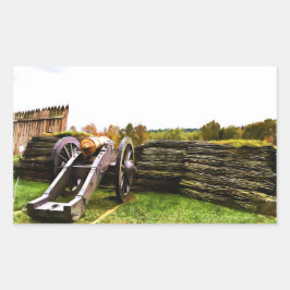
Fort Ligonier is a British fortification from the French and Indian War located in Ligonier, Pennsylvania, United States. The fort served as a staging area for the Forbes Expedition of 1758. During the eight years of its existence as a garrison, Fort Ligonier was never taken by an enemy. It served as a post of passage to the new Fort Pitt, and during Pontiac's War of 1763, was a vital link in the British communication and supply lines. It was attacked twice and besieged by the Native Americans, prior to the decisive victory at Bushy Run in August of that year. The fort was decommissioned from active service in 1766. Today, there is a museum next to the reconstructed fort. Inside the museum there are artifacts from the battle. An individual can take a guided tour of the fort, and on Fort Ligonier Days, the fort's cannons are fired.
3 resultados
Pegatina Rectangular Ft. Ligonier. Colección.
Precio 11,05 €

Ft. Rompecabezas de Ligonier
Precio 22,40 €

BVA Clase de camisetas para mujeres
Precio 22,80 €
Otras colecciones de Dominico Photography que te pueden interesar